Nilgiri
Bandarban · Hills
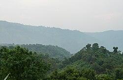
At about 2,200 feet above sea level, Nilgiri is Bandarban's best-known hilltop. Get there early in…
July – February
Explore unseen Bangladesh
Unseen Bangladesh (অদেখা বাংলাদেশ) is a travel guide, map and trip planner for the 64 districts of Bangladesh — pick your next stop from 257+ places, sort out the route and the cost, then colour in the districts you have seen.
All of it is free, with no trackers. Any paid entry is marked “Sponsored”.
Colour in my map · Plan the next trip
Twenty-four sightseeing destinations across Bangladesh, with photos and travel details. Open a card for the full guide.
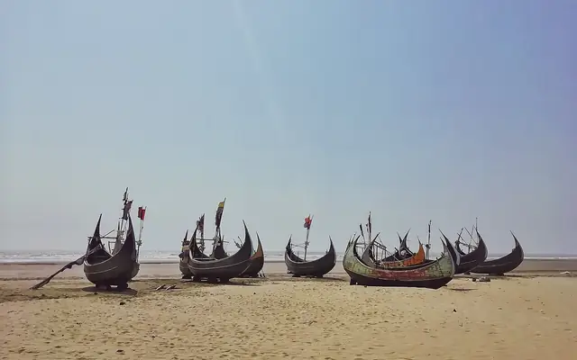 Cox's BazarCox's Bazar Sea BeachThe sand here stretches for about 120 km. It is often counted among the longest natural beaches in…
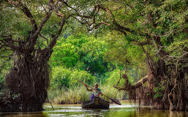 SylhetRatargul Swamp ForestRatargul is in Gowainghat upazila, on the Goyain river. It is one of the country's few freshwater…
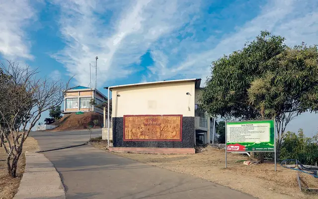 BandarbanNilgiriAt about 2,200 feet above sea level, Nilgiri is Bandarban's best-known hilltop. Get there early in…
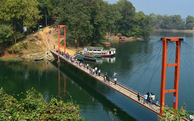 RangamatiKaptai LakeBangladesh has no bigger man-made lake than Kaptai. It came into being when the Karnaphuli river…
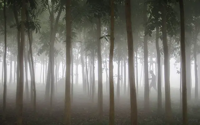 MoulvibazarLawachara National ParkThis evergreen forest in Kamalganj is a key refuge for the endangered hoolock gibbon. At dawn…
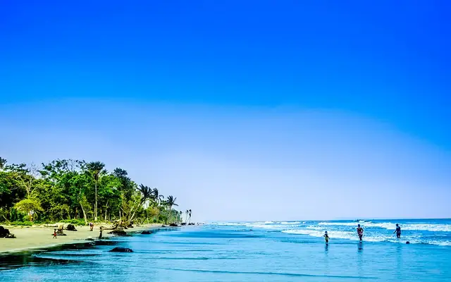 PatuakhaliKuakata BeachThe sands of Kuakata, in Kalapara upazila, run for about 18 km. The sun comes up out of the sea…
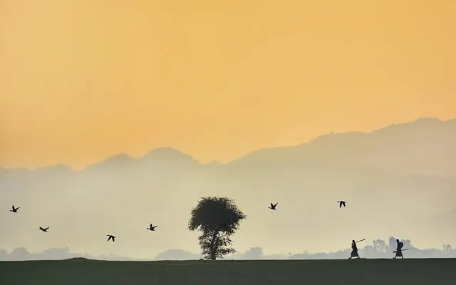 SunamganjTanguar HaorTanguar Haor spreads across Tahirpur and nearby upazilas below the Meghalaya hills. It is the…
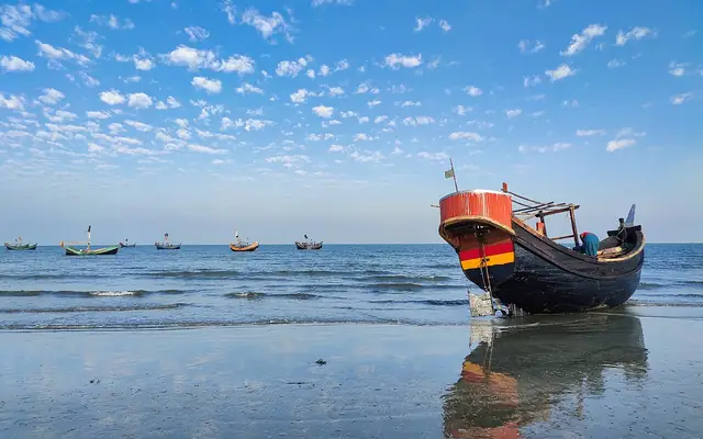 Cox's BazarSaint Martin's IslandSaint Martin's is an island in the Bay of Bengal, south of Teknaf. It is the only coral island the…
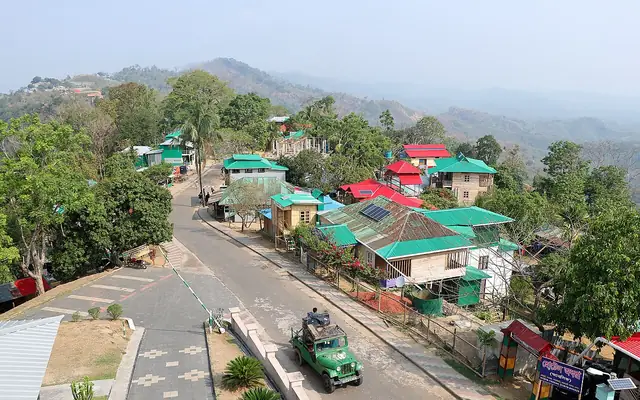 RangamatiSajek ValleySajek Valley lies in Rangamati's Baghaichhari upazila, on a hill ridge about 1,800 feet high…
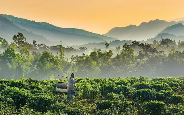 SylhetJaflongJaflong is in Gowainghat, at the zero point of the Indian border. Here the Dawki river leaves the…
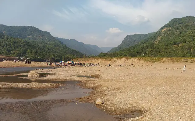 SylhetBichanakandiBichanakandi is on the Rustompur border in Gowainghat. Here water from falls in the folds of the…
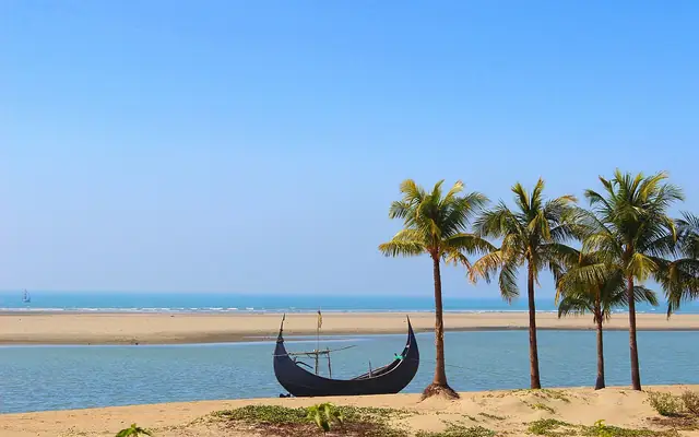 Cox's BazarInani BeachAt Inani beach in Ukhiya, low tide exposes rows of dark rock on the sand with clear pools between…
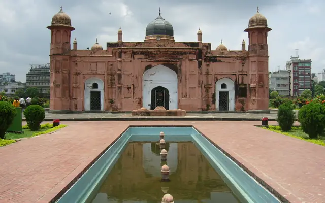 DhakaLalbagh FortEmperor Aurangzeb's son Prince Azam started this 17th-century Mughal fort, but it was never…
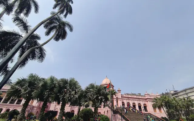 DhakaAhsan ManzilThis palace was the home and estate office of Dhaka's Nawab family. The pink building stands on…
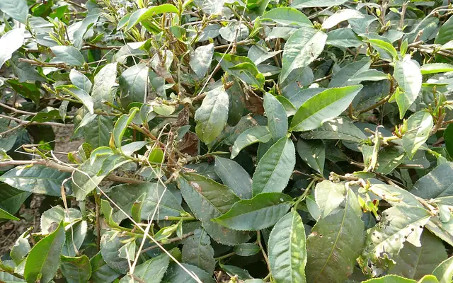 MoulvibazarSreemangal Tea GardensTea gardens cover the rolling hillocks around Sreemangal for mile after mile, and that has earned…
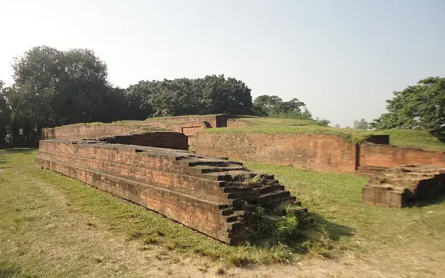 BoguraMahasthangarhNo older city has yet been found in Bangladesh; the history of Mahasthangarh goes back to at least…
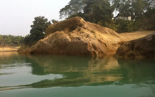 SylhetLalakhal and the Sari RiverLalakhal in Jaintiapur, Sylhet, shows two moods of the Sari River: monsoon flow beneath green…
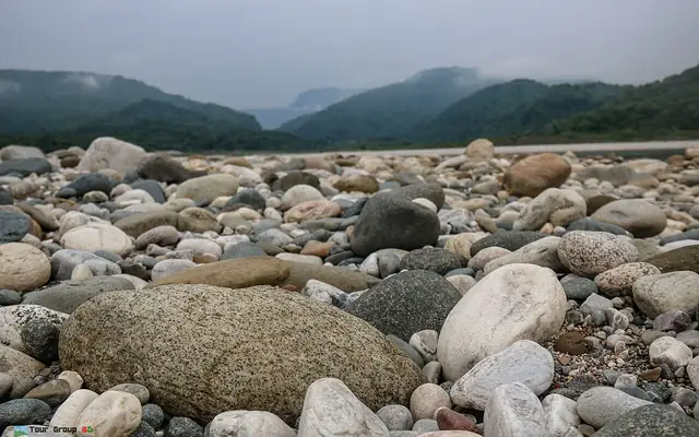 SylhetBholaganj Sada PathorBholaganj Sada Pathor is a stony stretch of the Dhalai River in Companiganj, Sylhet. River water…
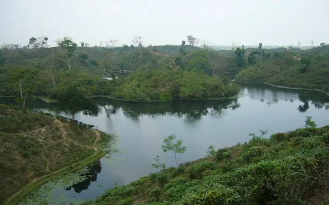 MoulvibazarMadhabpur LakeMadhabpur Lake lies among low hills inside the Patrokhola Tea Estate in Kamalganj. A walk beside…
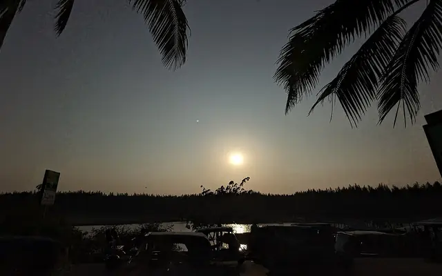 Cox's BazarHimchari Hills and WaterfallSouth of Cox's Bazar town beside Marine Drive, Himchari brings together forested slopes, Bay of…
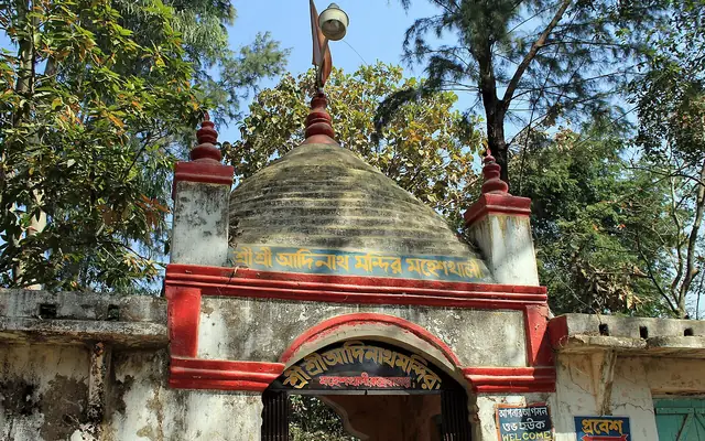 Cox's BazarAdinath Temple, MaheshkhaliAdinath Temple stands on Mainak Hill on Maheshkhali Island off Cox's Bazar. The Hindu pilgrimage…
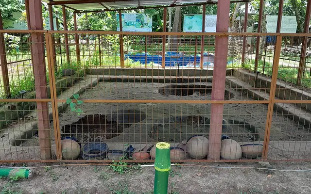 NarsingdiWari-BateshwarTraces found in the two villages of Wari and Bateshwar, in Belabo upazila, belong to a fortified…
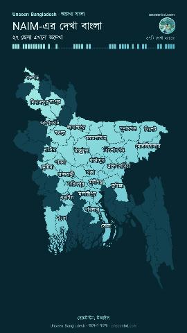
How many of the 64 districts have you explored?
Create My Bangladesh · Play games
Unseen Bangladesh (অদেখা বাংলাদেশ; short: Unseen BD, অদেখা বাংলা) is a travel guide, travel map and trip planner for the 64 districts of Bangladesh. Here you can look through more than 257 famous and lesser-known places, find routes and approximate costs, and plan your own trip in Bangladesh. It is an independent Bangladesh travel platform at unseenbd.com; where its information comes from is written on the About page.
Pick a kind of place and the matching ones line up.
By month
Places that are at their best in this month's weather.
Bandarban · Hills
At about 2,200 feet above sea level, Nilgiri is Bandarban's best-known hilltop. Get there early in…
July – February
Bandarban · Waterfall
Nafakhum is the spot in Thanchi where the Remakri stream crashes about 25 to 30 feet down from a…
October – February
Bandarban · Places of worship
This Theravada Buddhist temple stands on top of a hill at Balaghata, near Bandarban town. It is…
October – March
Brahmanbaria · Rivers and haors
Adwaita Mallabarman's novel 'A River Called Titash' gave this river a lasting place in Bengali…
July – October
Chandpur · Places of worship
This large mosque in the middle of Hajiganj bazar is one of the biggest in the country. A tall…
All year
Chattogram · City and parks
In 1924 a hill stream was dammed by the Assam Bengal Railway, and that is how this lake came…
October – March
You rarely hear their names, yet they stay with you. We mark these places out for you.
Brahmanbaria · Places of worship
This 17th-century mosque stands on the bank of the Sagar Dighi at Arifail village in Sarail…
October – March
Chandpur · History and heritage
Three tall temple spires from the zamindar era stand side by side on the bank of the Dakatia river…
October – March
Chattogram · Beach
At Guliakhali in Sitakunda the shore is covered in green grass rather than sand, dotted with keora…
September – February
Cumilla · History and heritage
The house of Nawab Faizunnesa Chowdhurani stands on the bank of the Dakatia river at Paschimgaon…
October – March
Cox's Bazar · Places of worship
Ramu upazila, next to Cox's Bazar, is an old settlement of Rakhine and Barua Buddhists with many…
October – March







Bus fares, train times, launches and flights from Dhaka to every district, checked against official sources.
Short questions, straight answers.
Unseen Bangladesh (in Bengali অদেখা বাংলাদেশ, short অদেখা বাংলা) is a free website for exploring Bangladesh. You can make a map of the districts you have visited, find places in all 64 districts, estimate trip costs and share photos.
Yes. The map, the guide and the planner work without an account and keep your choices in your browser. You need an account to save plans, track expenses, share photos and see everything on another phone.
They are estimates based on distances between districts and typical bus fares, hotel and food prices. Real costs change with the season and bargaining. Log what you actually spent after the trip to see the real total in your profile.
You decide. Keep a photo private or share it with everyone. Shared photos are checked before they go live, and location (GPS) data is removed from every photo.
Every place lists the best time to visit. Pick a month on the Explore page to see the places that suit it.
Travel rules for parts of Bandarban, Rangamati, Khagrachhari and for Saint Martin's Island change from time to time. Check the latest instructions from the local administration before you go.